
Road Alignment • CAD Stakeout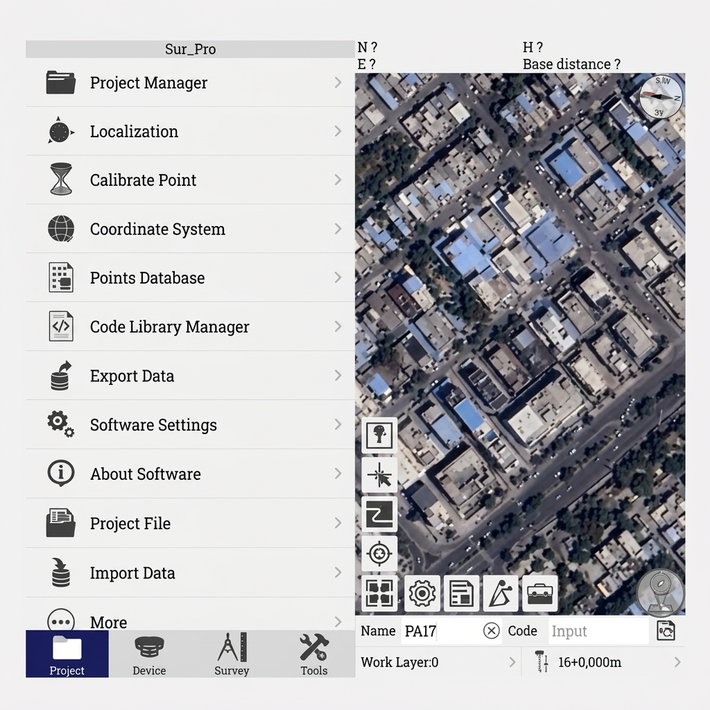
Field Survey App
Sur_Pro Software
Sur_Pro Software is a field-proven survey application designed for Land Surveying, Road Alignment, CAD Line Stakeout, and Coordinate System Localization. Works seamlessly with Janak data collectors and GNSS receivers.
✓Complete Land Survey & Road Design Module
✓Real-Time Graphical CAD Linework & Stakeout
✓Automatic Multi-Point Coordinate Localization
✓Support for Local Datum & Geoid Grids across India
ENGINEERING EXCELLENCE
Key Technology Pillars
Road Alignment & Stakeout Engine
Compute centerlines, cross-sections, and slope cut/fill values directly in the field with instant visual guidance.